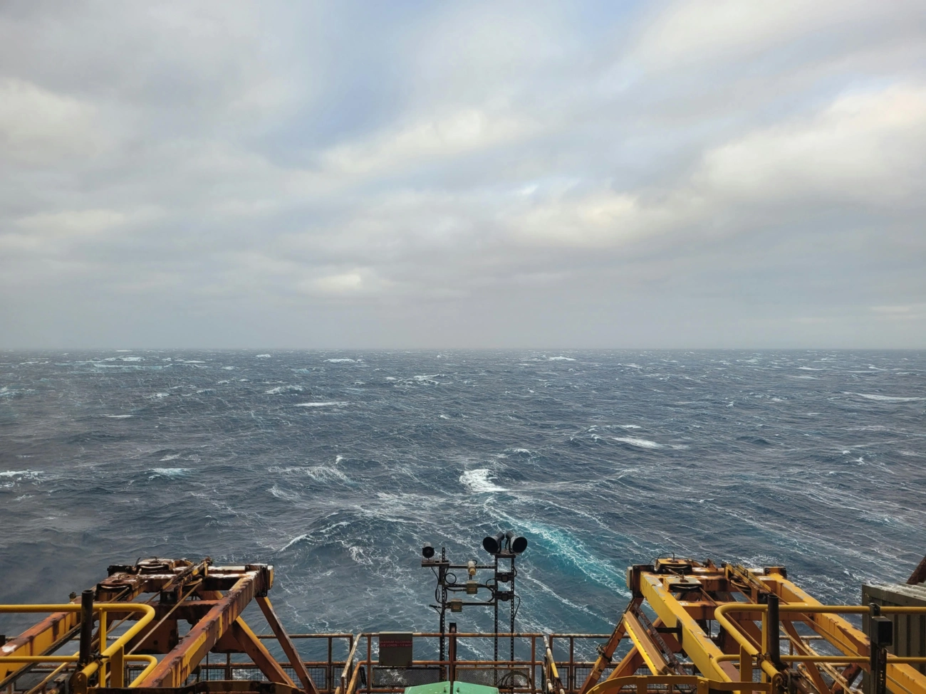
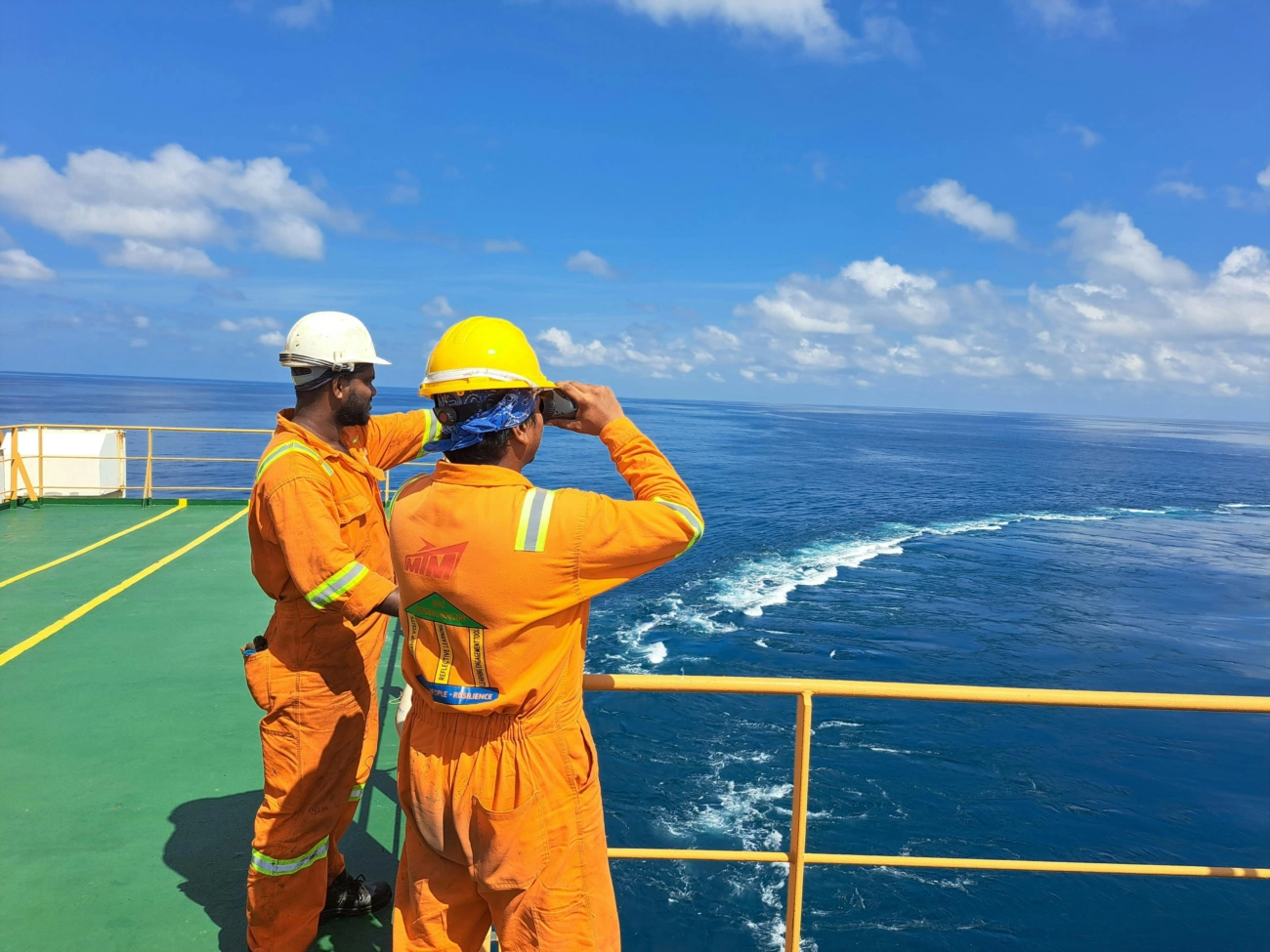
The Role of Seismic Surveys in Offshore Oil Exploration: Latest Technologies and Trends

Seismic surveys have long been the cornerstone of offshore oil exploration, playing a vital role in uncovering underwater hydrocarbon reserves and reducing drilling risks. As the quest for new energy sources pushes exploration into deeper and more complex underwater basins, seismic survey technology continues to evolve rapidly. This article explores the seismic survey techniques employed in discovering offshore oil reserves, the technology driving seismic data collection and processing, and the critical role seismic surveys play in maritime resource exploration today. The discussion highlights the latest technological trends and innovations shaping the seismic survey market in 2025 and beyond.

Seismic Survey Techniques in Offshore Oil Exploration

Seismic surveys use controlled sound waves to map subsurface geological formations beneath the seabed. By generating acoustic signals and recording their reflections from underground rock layers, geologists can create images of the subsurface structures, enabling precise identification of potential hydrocarbon reservoirs.
Key seismic techniques include:

  • 2D Seismic Surveys: This traditional method produces a single vertical slice of the subsurface along a survey line. Although valuable for initial exploration, 2D surveys offer limited detail compared to modern techniques.
  • 3D Seismic Surveys: By collecting data over a defined area, 3D seismic produces detailed volumetric images of the subsurface. This technique is essential for accurate mapping of complex geological features and estimating reservoir size.
  • 4D Seismic or Time-Lapse Imaging: This advanced technique repeats 3D surveys over time to monitor changes in reservoir properties, such as fluid movement and pressure variations, critical for optimizing production strategies.
  • Ocean Bottom Seismic (OBS): OBS systems place sensors directly on the seabed, capturing high-quality seismic data with reduced interference from surface noise. This technology is valuable in deepwater and environmentally sensitive regions.

The technology behind these survey methods combines various sources to create seismic waves, including compressed air guns, vibrators, and ocean-bottom nodes. Sensors or hydrophones arranged in arrays capture the returning echo signals for further processing.
 

Advancements in Seismic Data Collection Technology

Technological innovation remains pivotal in enhancing the resolution, accuracy, and efficiency of seismic surveys. Key advances in 2025 include:

  • Nodal Seismic Systems: Cable-free seismic nodes with extended battery lives (e.g., up to 300 days) enable flexible deployment over large offshore areas, improving data density and reducing operational costs.
  • Multicomponent Seismic Acquisition: These systems record multiple wave types (compressional and shear waves), enriching subsurface imagery and providing a more complete understanding of rock properties.
  • Artificial Intelligence and Machine Learning: AI algorithms expedite seismic data processing, enhance signal-to-noise ratios, and automate geological feature recognition, leading to faster interpretation and decision-making.
  • 4D Full Wavefield Inversion: This breakthrough processing technique delivers high-definition seismic images by analyzing seismic wavefields in modelling reservoir changes over time, supporting better reservoir management.
  • Cloud-Based Data Platforms: Adoption of cloud infrastructure allows real-time data storage, collaborative analysis by geographically dispersed teams, and reduction in lead times for survey projects.

Critical Role in Maritime Resource Exploration

Seismic surveys are fundamental to offshore oil exploration for several reasons:

  • Risk Reduction: By providing detailed images of geology beneath the seabed, seismic data helps operators avoid drilling dry wells, thereby saving costs and environmental impact.
  • Resource Estimation and Development: Mapping the size, extent, and characteristics of reservoirs guides the design of extraction strategies to maximise recovery and manage field lifespan.
  • Deepwater Exploration: Modern seismic technologies enable exploration in previously inaccessible deep and ultra-deepwater basins, such as the North Sea, Gulf of Mexico, and West African coasts, opening new frontiers for oil production.
  • Supporting Carbon Capture and Environmental Projects: Seismic data is increasingly used in offshore carbon storage site characterisation, risk assessment, and monitoring, aiding energy transition goals.

Latest Market Trends and Industry Activities

The seismic survey market in 2025 is marked by robust growth driven by intensified offshore exploration and production activities, with a market size projected to expand significantly in the coming decade. Recent trends shaping the landscape include:

  • Expansion of autonomous seismic nodes and drone deployments to survey difficult-to-access or environmentally sensitive marine areas.
  • Hybrid surveys combining marine and land seismic systems to optimise resource use in complex geological settings.
  • Increasing investment in renewable energy, such as offshore wind farms, where seismic surveys support foundation site evaluations.
  • Enhanced regulatory requirements mandating environmental seismic monitoring for new offshore infrastructure projects.
  • Collaborative international projects utilising high-density 3D and 4D seismic to explore mineral reserves alongside hydrocarbons.

Notable company initiatives include contracts awarded to firms like Shearwater Geoservices for seismic surveys supporting carbon capture projects in the Irish Sea and large-scale ocean bottom node surveys in the Barents Sea. ExxonMobil and Shell continue pioneering innovative seismic imaging technologies to de-risk deepwater discoveries globally.

Conclusion

Seismic surveys remain an indispensable tool in offshore oil exploration, continually evolving through technological innovation to meet the sector's challenges. With advances in 3D and 4D imaging, nodal seismic systems, AI-enhanced processing, and cloud collaboration, seismic surveys provide unparalleled insight into the subsea geology. This enables energy companies to unlock new oil reserves safely, reduce exploration risks, and support the energy transition through environmentally conscious projects. As market demand grows and technology advances further, seismic survey techniques will continue playing a crucial role in shaping the future of maritime resource exploration.

External References

For expert maritime support services tailored to seismic projects, visit CSS Ship Services.

Related news

The Rise of Offshore Wind Farms: Maritime Support and Service Demands

The offshore wind sector is witnessing an extraordinary surge in investment and development, marking it as a cornerstone of the global clean energy transition. As nations intensify their commitments to renewable energy, offshore wind farms represent a pivotal solution to meet escalating energy needs sustainably.